Operational maps have advanced applications within servers with several cameras, monitoring various points in a city, for example.
This is a feature that, through integration with Google Maps, allows the creation of navigation maps and event maps.
The navigation maps provide an overview with the geo-positioning of all the cameras in the system (which have geo-positioning activated) and will allow access to these cameras via icons referenced on the map. If the Surveillance Client is connected to multiple servers, the operational map will automatically concentrate and display objects from all servers.
Event maps provide, in real time, the position of the event (if it is geo-referenced) on the map when it occurs, creating a powerful visualization and navigation interface that offers a detailed view of the locations where events are occurring and allows the operator to access the cameras near an event, thus speeding up the response to the event.
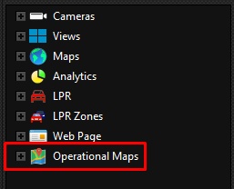
Operational Maps can be found in your object list:
Operational Map visual object interface:

1.Toolbar, containing options for controlling and adjusting the map for better viewing.
2.Address bar. Displays the address of the selected event and allows navigation to a specified address.
3.Object Filter: By typing in the name of some object, the map will filter and display only the objects that satisfy the filter.
4.Title bar, containing the name and description of this map object.
5.List of Events.
6.Map display area
The operational map, when displayed, will connect to all the servers connected to the Surveillance Client, receiving camera and event information from all of them, allowing the operator to have control and overview of the system.